Tajikistan: Haft Kol (Seven Lakes)
Таджикистан: Хафт-Коль (Семь озёр)
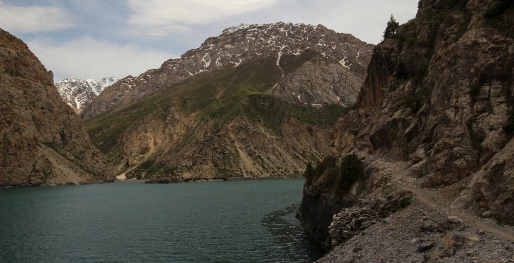
Hazor Chashma, the Seventh Lake of the Haft Kol (literally: Seven Lakes), is one of the most popular short hiking trips in Tajikistan, particularly among the options in the Fann Mountains region. The short distance, low intensity, and wealth of cultural and natural attractions make it perennially popular with tourists looking to get to the heart of the Penjikent region in a short amount of time.
Total Km: 9.6km
Total Days: 1
Elevation Gain/Loss: 457m+ / 457m-
Start Point: Marguzor
End Point: Marguzor
GPS Files
The hike to Hazor Chashma is about as easy as it gets for Tajikistan’s mountains. Very little elevation gain or loss, stretched over a distance that’s long enough to make it an relaxed climb but short enough to be an easy couple of hours’ trip from Marguzor.
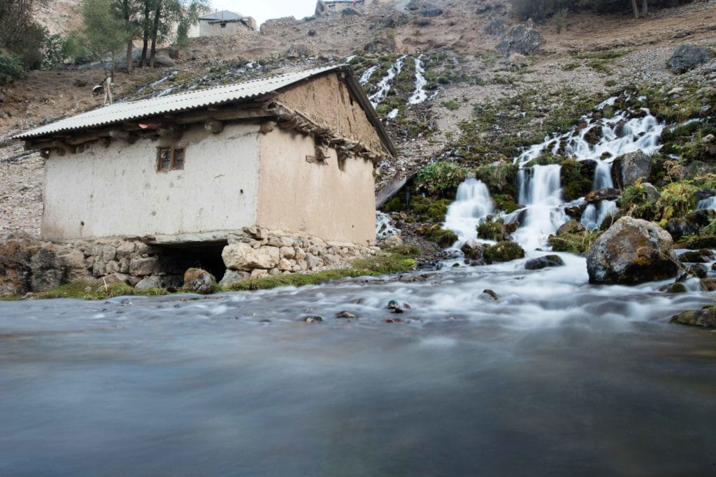
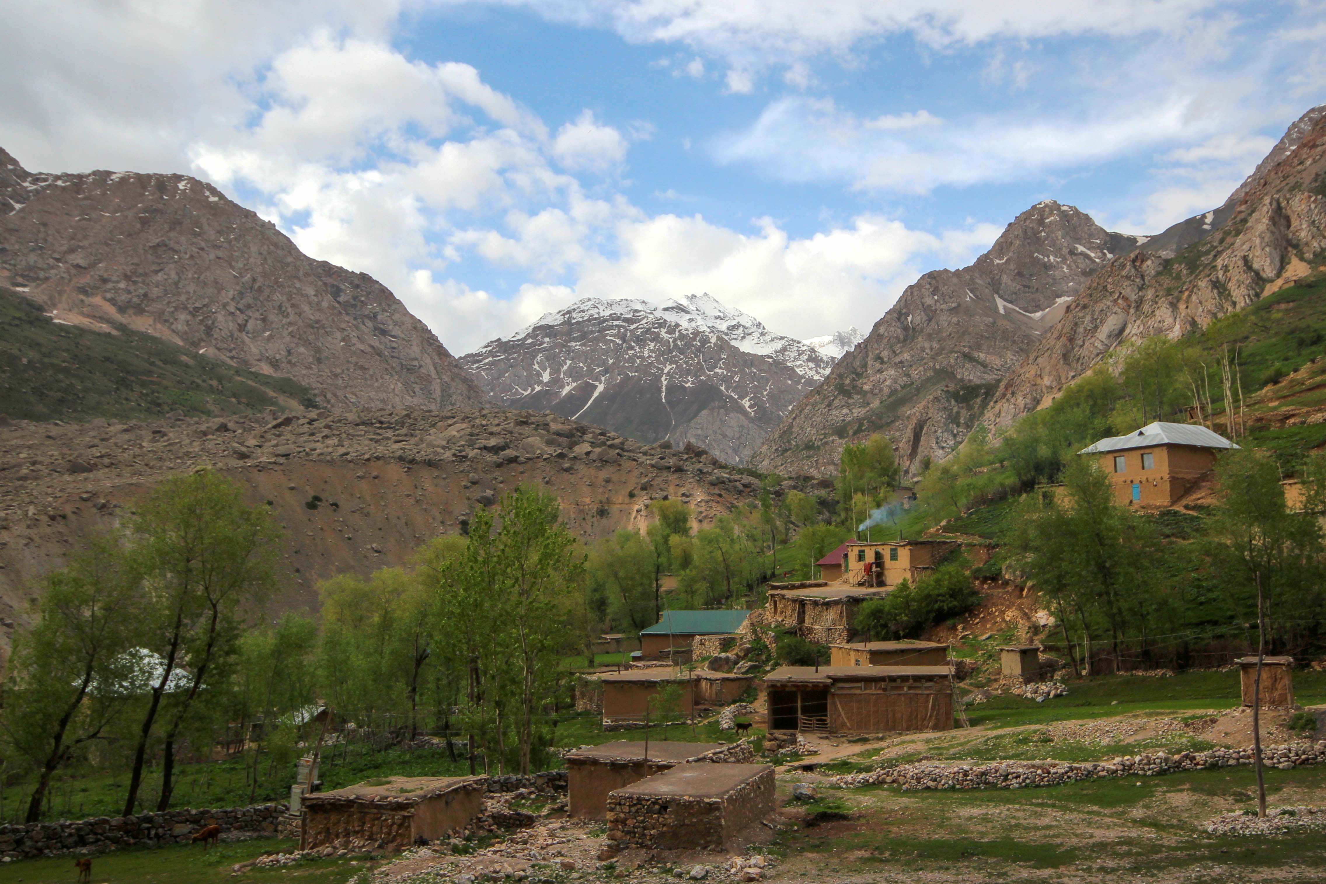
The route to Hazor Chasma starts from the village of Marguzor, the highest of the major Seven Lakes settlements right at the top edge of the sixth lake (for which Marguzor is named). Most cars will want to stop where the stream cascades across the village road, though it’s possible to continue a fair bit further if your driver is willing. At any rate, we’ve started the GPS trail linked above from near that point, and will presume that you carry forward on foot the remainder of the way to Hazor Chashma.
The road carries on half a kilometer into the village from here, across a sturdy bridge for vehicles and up a short incline, where it takes a sharp left-hand turn to the south. If you would like to continue climbing to the village of Chorroha as discussed later in the alternate options, this is the point where you’ll begin to climb to the west through the upper sections of Marguzor.
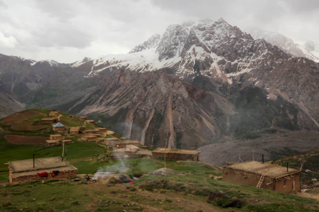
The seventh lake trek continues along the dirt road to the south, climbing steadily up over about a kilometer and a half past occasional shepherds’ huts to reach the northern edge of Hazor Chasma lake and a small pasture where you’re bound to meet a local family or two.
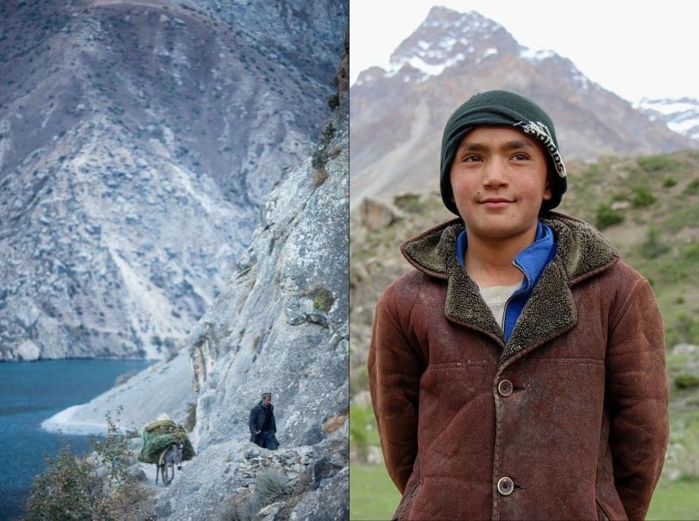
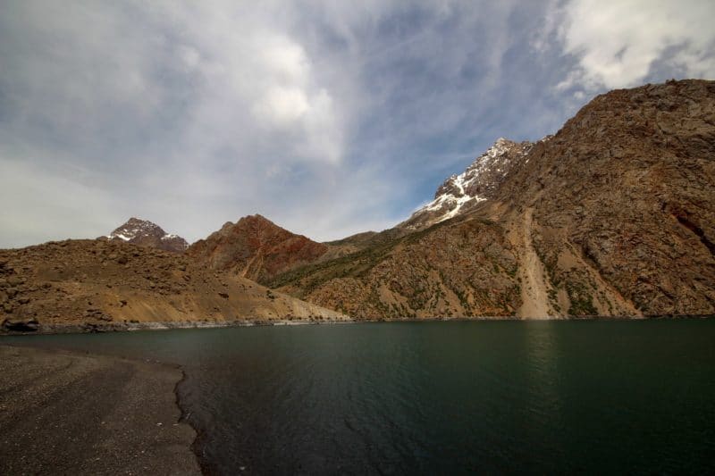
The prettiest views of Hazor Chasma are still to come, however, to continue southwards along the western side of the lake on the obvious path – one that has at times been literally cut from the rock walls. The path follows the western edge of the lake for around two kilometers to reach the southern end, location of a few buildings used by locals to house livestock when they’re down from the higher elevations in the colder months but rarely inhabited in summer, where for some reason most tourists with local guides seem to stop and turn around. Assuming you’ve got the time and energy, however, continue around the southern side of the lake another 700 meters to the small spit of land that juts out into the center of the lake, giving fantastic views of Hazor Chasma and the surrounding mountain valleys.
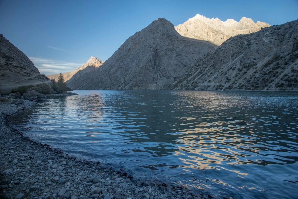
There’s plenty of space to hang out and relax on this rocky outcrop, and it would make a good spot for a picnic if you’ve timed your arrival for midday. At any rate, once you’ve had your fill of the calm atmosphere and peaceful views, retrace the same 4.8km path back down to Marguzor village and the end of the Seven Lakes hike.
Alternate Options for Haft Kol (Seven Lakes)
In addition to multiday routes up and over to the Kulikalon Lakes and beyond, there’s plenty of short-distance wandering to be done in the immediate vicinity of Marguzor. Just west of the turnoff to the Seventh Lake, a path continues to climb up the hillside to the village of Chorroha and beyond for superb views of Marguzor Lake and the surrounding peaks. On the opposite side of the lake, rising to the east, the Moshcoi valley climbs to several small hamelts and then onwards towards Kulikalon.
Though we’ve not pursued the concept, the dual valleys to the south of Hazor Chashma show several small lakes on topographic maps of the area, with the western valley of the two seemingly also presenting a route over the likely-glaciated ridge to the south and deep into under-explored areas of the Fann Mountains. This is way off the tourist radar, so should only be explored by visitors prepared with both the skills and equipment necessary.
Good To Know
There are currently no entrance fees to the Haft Kol area, though that’s something we wouldn’t be surprised to see change in the coming years. The road along the Seven Lakes closes each winter due to snowfall and landslides, and must be reopened and repaired by local villagers each spring and summer, so this is firmly a warm season hike.
Getting to the Haft Kol (Seven Lakes)
Getting to the Seven Lakes is fairly easy from Penjakent Bazaar in the mornings. Shared taxis leave throughout the earlier part of the day, but typically only run as far as Padrud (about 60 TJS). Let the driver know you would like to go all the way to Marguzor and expect to haggle a bit for the extra 5.5 kilometers to the end of the road, likely coming in around 70 TJS overall.
Where to Stay and Eat
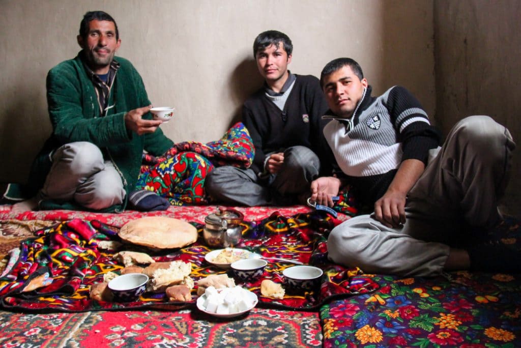
There’s a tourist-focused Turbaza at the north end of Marguzor Lake, as well as established homestays at Padrud and Nofin further up the valley. In the past we’ve had luck finding an informal homestay in Marguzor village directly, but this is never entirely guaranteed as you’re relying on local hospitality so keep a backup plan in mind if you plan to try it. If you’d prefer to make bookings in advance, the Zerafshan Tourism Board in Penjakent can help either via email or at their office in Penjakent.


Pingback: Tajikistan: Haft Kul to Alaudin Lake - Asia Hikes
Pingback: Tajikistan: Mogiyon to Haft Kul Trek - Asia Hikes
Pingback: Tajikistan: Fann Mountains Trekking Guide - Asia Hikes