Kyrgyzstan: Tiorgen Ak-Suu High Loop
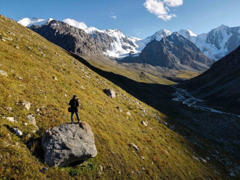
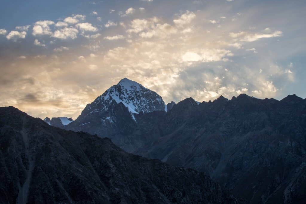
Easy going walking up a pretty mountain valley, with nice peak views and a beautiful angle back on Tashtambek-Tor Bashi Peak from the end.
Total km: 9.5 km
Elevation gain/loss: 641m+/641m-
Start point: Tiorgen Ak-Suu Road End
Endpoint: Tiorgen Ak-Suu Road End
GPS Files
A really very straightforward hike, though getting to the trailhead without your own vehicle is anything but. There’s a bit more to explore in the side valleys up here, but on this hike we’d been short on time and needed to get back to Karakol the next day.
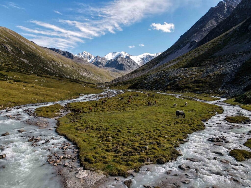
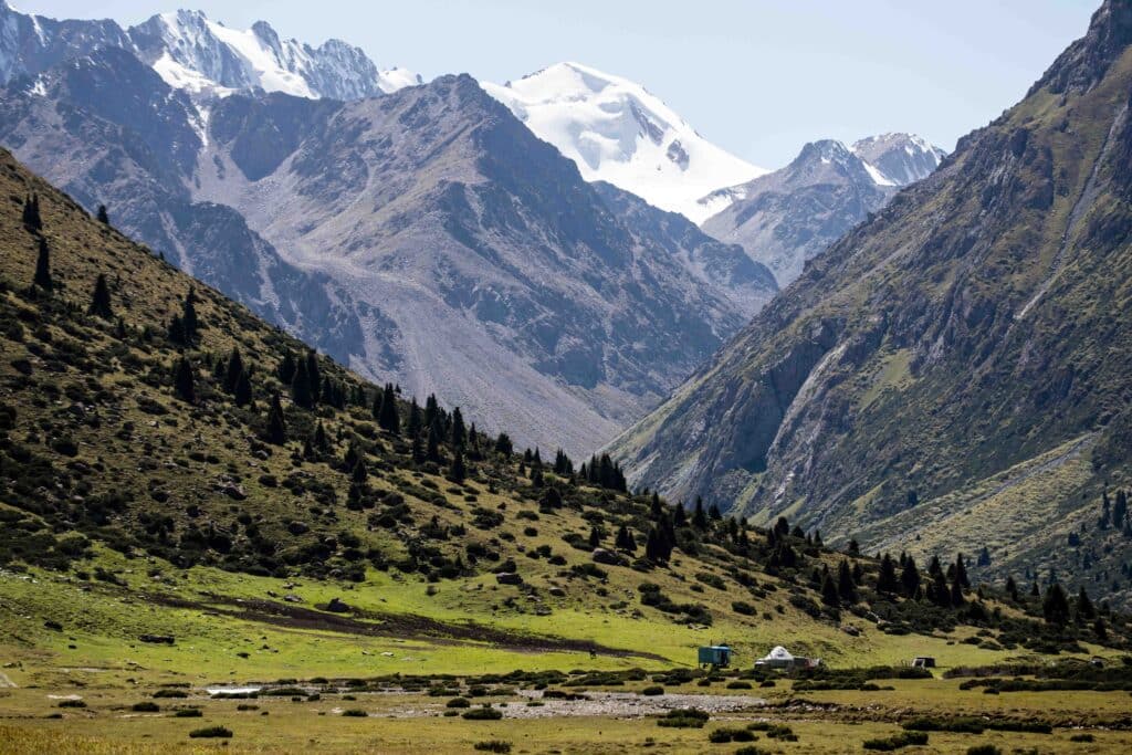
From the yurt camp at the end of the jailoo road in Tiorgen, a series of well-defined horse trails continues up the valley in the direction of the impressive peaks and glaciers that are already in view. The trails stick mostly close to the river, which means water to drink (after treating!) is always close to hand, and largely follow the curve of the terrain as the valley twists slightly as it climbs. There are several rock falls that need to be crossed but, at this early stage of the hike there are typically well defined paths through these rock fall areas as well.
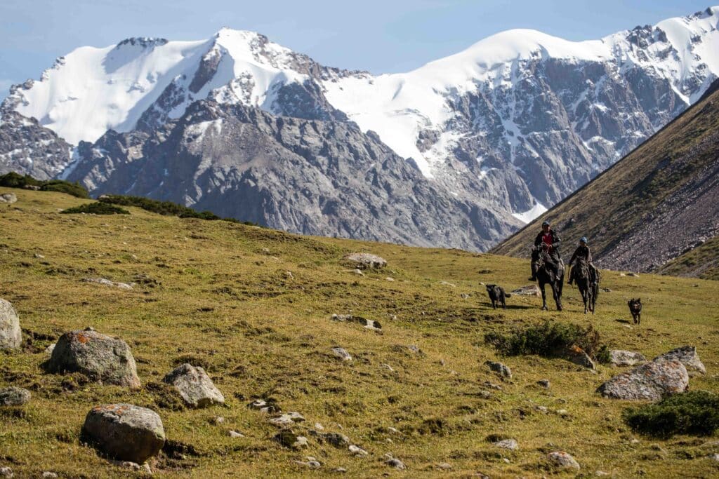
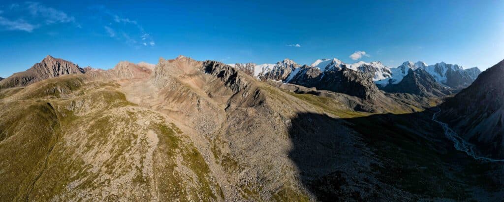
It is, of course, possible to simply return down from the top of the valley along the same low path by which we climbed. However, views of the ridge that cap the valley improve significantly from even slightly higher elevations, as do views of massive Tashtambek-Tor Bashi Peak (4463m) on the return. As such, this route follows a line up to the first low ridge to the east of the valley, which it will follow until dropping abruptly back into the yurt camp at the end of the hike. The general trend of climb and following the ridge is of greater importance than the specific line we’ve followed here, so feel free to wander off of our track as long as you’re following the same basic directions.
We elected to slowly trend upwards along the hillside after only about 3km from the starting point. Beyond here the valley begins to turn sharply to the west, and the higher elevation affords more open views both along the southern cap of the valley and of the ridge as it continues west. Once encountered, a small burbling stream makes both for a nice water refill and an often-easy open ascent (though steeper). You may have to deviate out of the stream bed occasionally to avoid large rocks or particularly wet spots but, in principle, the bed makes a nice path all the way to the top of the ridge. This ‘ridge’ is, as it turns out, just a small plateau before the slope begins to rise more steeply to a series of rugged red peaks. Follow the rise of the valley as long as you care to – the snow-capped mountains that ring the top really are quite beautiful, and then turn to the north to begin the return to the trailhead.
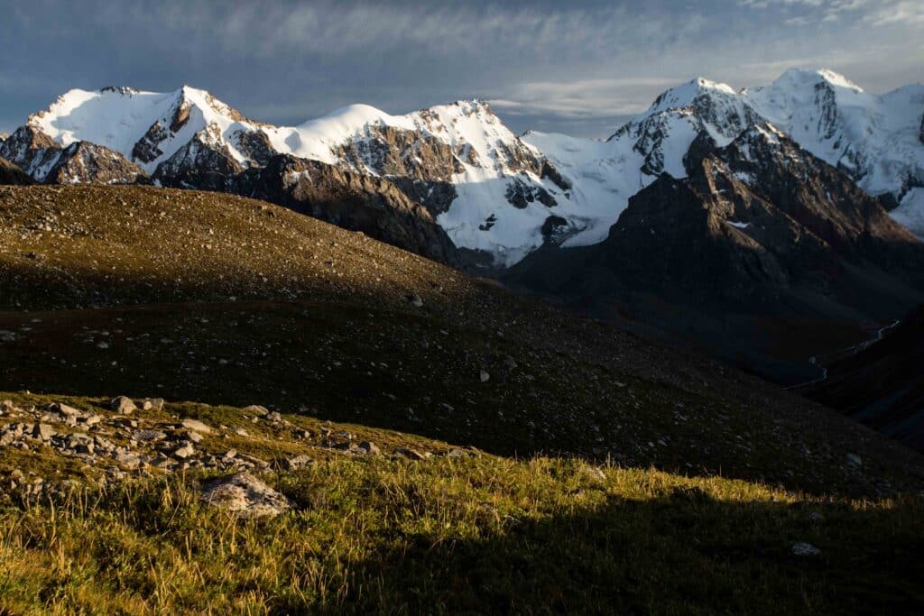
In an ideal situation we might actually suggest taking higher elevation to begin the return trip than we have here – out route crossed a long stretch of rock fall which made for slow going, and then was forced to climb anyways to avoid the steep cliffs that line the lower slopes of the next small stream crossing. Beyond this stream crossing, the rest of the way is fairly easy going. Eventually you’ll intersect a rutted horse trail that winds all the way down to the yurt camp at the beginning of the hike. While following this closely is fairly unnecessary through most of the descent, the final kilometer or so descends steeply through a dense stand of shrubbery and so the beaten path is actually quite helpful. Several points along the descent present incredible views up the small side valley opposite and to the Tashtambek-Tor Bashi Peak, any number of which might make spectacular sunrise spots if you’re overnighting in the valley below.
Finally, turning past a massive rock, the yurt camp reappears and with it the end of the trip. Be careful of the family’s dogs as you pass through, but more than likely a member of the family will appear to call them off and invite you to sit and have a tea, in the typical jailoo style.
Good To Know
Getting to the Tiorgen Ak-Suu High Loop
The closest you’re gonna get to here on public transport is to Ak-Bulun, after which it’ll be a hitch up the long Tiorgen Ak-Suu. This is really better for a self-drive, paying attention to turn off the main Tiorgen road just before it starts to climb in any real steepness to eventually reach the Chon-Ashuu Pass.
Starting at the leshoz cabins at the top of the main Tiorgen Ak-Suu Valley, follow the small Jailoo 4×4 track first over a small bridge and then southwest down through the Ailampa jailoo along the south bank of a small stream. The track goes through some muddy wet terrain under the best of conditions, but may not be passable after a particularly heavy rain. Continue along the valley for around 7km, until the track ends at a final yurt camp at the confluence of a large steep side valley and the higher Tashtambek-Tor Valley to the west. There’s also a small lake up that way, according to topos, but we didn’t have time to get up there and check it out.
What to Pack
You’re probably going to want to camp out here somewhere, as it’s a bit of a drive to and from Karakol and there are plenty of lovely flat areas to put up a tent towards the end of the road. There are no services – just a couple of herding families, really, and for some of the year the forestry guys at the leshoz cabin – so plan to be self-sufficient. The hike itself doesn’t need anything special – pack a nice picnic to eat somewhere on high where the views are nicest and your legs need a break.
